Origin of Terraces on Asteroid (101955) Bennu

Post contributed by Dr. Olivier S. Barnouin, The Johns Hopkins University Applied Physics Laboratory, USA

The OSIRIS-REx (Origins, Spectral Interpretation, Resource Identification, and Security–Regolith Explorer) spacecraft successfully sampled the surface of the asteroid (101955) Bennu on October 20, 2020.  The sampling event revealed that Bennu’s surface was very weak and easy to displace. But this outcome was not necessarily evident when OSIRIS-REx first arrived at Bennu, given the asteroid’s very rocky surface and apparent lack of fine sand-sized surface material, or regolith (Image 1), until we began analyzing Bennu’s landscape in detail.

Image 1. Movie of high resolution (40 cm) digital terrain model of Bennu showing its rough, rubbly surface. Bennu’s diameter is ~500m. In this movie, the sun is held fixed at at 20 sub-longitude. Movie generated with Small Body Mapping Tool (sbmt.jhuapl.edu). Credit CSA/NASA/UA/APL.

(more…)
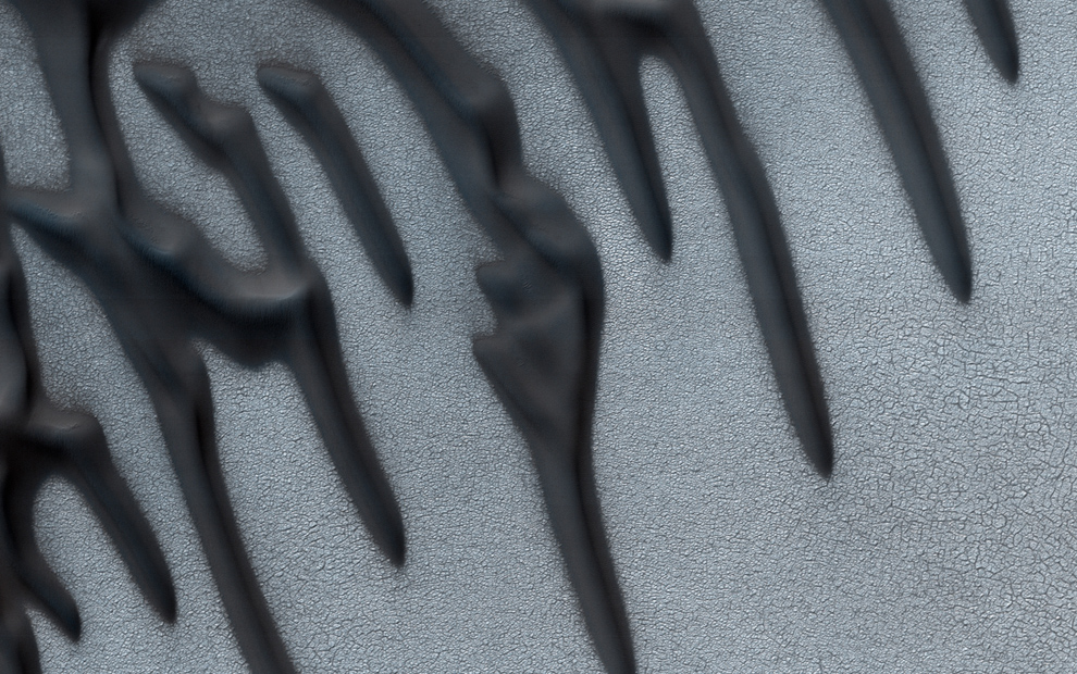
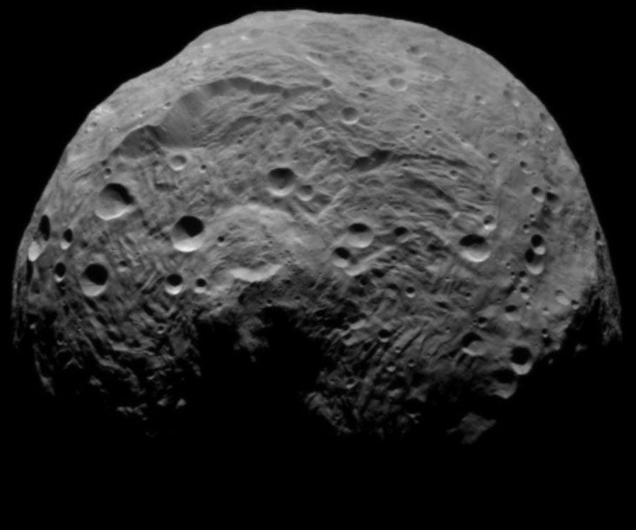
Small martian landslides – are they similar to large landslides on Earth?

Post contributed by Susan J. Conway and Anthony Guimpier, CNRS Laboratoire de Planétologie et Géodynamique à Nantes, France.

Landslides have been documented on almost all the solid bodies of the solar system and Mars is no exception. The most famous landslides on Mars are the giant landslides in the Valles Marineris, which were discovered in the images returned by the first Mars Orbiter “Mariner 9” launched in 1971 (Lucchitta, 1979). They have volumes typically ranging from 108-1013 m3 (McEwen 1989; Quentin et al. 2004; Brunetti et al. 2014) and have been found to have occurred periodically since the canyon’s formation 3.5 billion years ago (Quantin et al. 2004). The largest size of terrestrial landslides generally only extends to 108 m3 (McEwen 1989; Quentin et al. 2004).

bothLandslides3d

Image 1: Oblique views of small landslides on Mars. Top: Landslide in Chyrse Choas in HiRISE image PSP_005701_1920 draped over 2 m/pix elevation model. Crater just in front of the landslide is 70 m in diameter and the landslide from crest to toe spans 900 m in elevation. The largest boulders are nearly 40 m in diameter. Bottom: Landslide in Capri Chasma in HiRISE image ESP_035831_1760 draped over 2 m/pix elevation model. Crater on slope is 270 m across and the landslide from crest to toe spans ~1 km of elevation. The largest boulders are just over 30 m in diameter.

(more…)

Long-runout landslide transport in Valles Marineris, Mars

Post contributed by Jessica Watkins, Dept. of Earth, Planetary, and Space Sciences, University of California, Los Angeles, USA.

Long-runout (> 50 km) subaerial mass movement is rare on Earth but it is one of the most prominent geomorphic processes shaping Valles Marineris in equatorial Mars. It has occurred widely and nearly continuously within the canyon system over the past 3.5 billion years (Quantin et al., 2004).

Image 1: Long-runout landslide in Ius Chasma, Valles Marineris, with characteristic zoned morphology. Blue box indicates location of spectral map in Image 3. Image is Thermal Emission Imaging System (THEMIS) daytime infrared mosaic. Image credit: NASA/JPL/ASU

Image 1: Long-runout landslide in Ius Chasma, Valles Marineris, with characteristic zoned morphology. Blue box indicates location of spectral map in Image 3. Image is Thermal Emission Imaging System (THEMIS) daytime infrared mosaic.
Image credit: NASA/JPL/ASU

(more…)

  • Enter your email address to follow this blog and receive notifications of new posts by email.

  • Io

  • Blog Stats

    • 192,900 hits