Post contributed by Dr. Joe McNeil, Natural History Museum, London
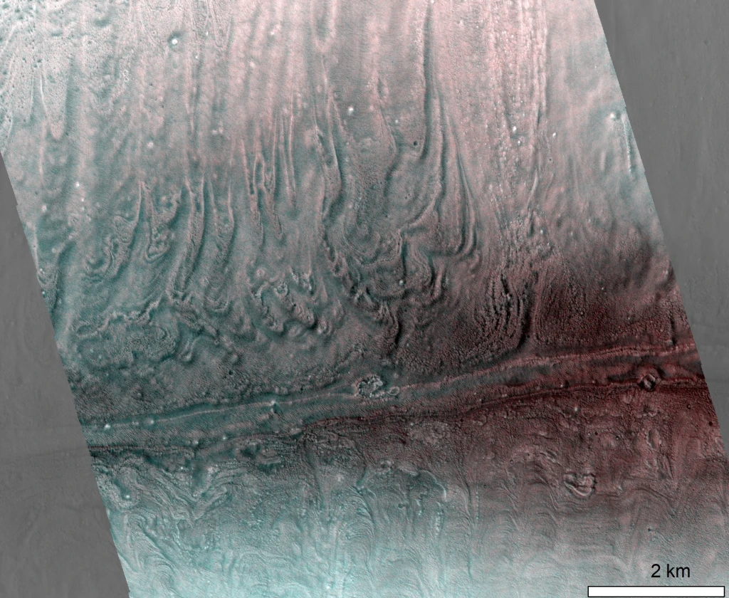
Mars is a planet of geographic contrast. The southern highlands, which comprise the lower two-thirds of the planet form a rugged, heavily cratered landscape that are high in elevation and are some of Mars’ oldest terrains. The upper third of the planet – the northern lowlands – form lightly cratered plains, Mars is a planet of geographic contrast. The southern highlands, which comprise the lower two-thirds of the planet, form a rugged, heavily cratered landscape that are high in elevation and are some of Mars’ oldest terrains. The upper third of the planet – the northern lowlands – form lightly cratered plains, are lower in elevation, and are much younger in age. Where the two hemispheres meet, they form a planetary-scale feature called the dichotomy boundary. One of the most important – and enigmatic – regions of Mars lies in the highlands just south of the boundary at a place called Mawrth Vallis (Image 1). The 650 km-long Mawrth Vallis channel carves its way through Noachian-aged (4.1—3.7 billion years ago) clay-bearing, layered deposits that underpin much of our understanding of the role of liquid water on early Mars (e.g. Bishop et al., 2008; Loizeau et al., 2012). Ongoing work has revealed that these clay-bearing, layered deposits were once much more extensive than they are today. The evidence for this is contained in a population of thousands of mesas, buttes, and hills (‘mounds’) that exist in the lowlands just north of the dichotomy. Image 1A shows the mound population north of the dichotomy within the study area, as well as an example of three individual mounds in Image 1B.

Image 1: Similar strata, different settings. (A) shows a topographic map of the Mawrth Vallis region, with lowlands (teal), highlands (brown), and dichotomy boundary (dashed red line). The mounds are shown as black shapes in the northern lowlands. Inset MOLA (Mars Orbiter Laser Altimeter) globe shows location and global context of the study area. Panels B1 and C1 are CTX (Context Camera) and HiRISE (High Resolution Imaging Science Experiment) images showing a typical mound and a crater in the highlands, respectively, which both exhibit similar dark and light-toned layering at the metre scale (panels B2 and C2; HiRISE IRB).
(more…)