Meter-scale ripples on Mars change in size according to atmospheric density

Post contributed by Dr. David A. Vaz, Centre for Earth and Space Research, University of Coimbra.

Mars lost a part of its atmosphere to space, a process that transformed the planet from a wet planet into a cold and arid place. The extension and timing of this climatic change are still uncertain. To assess the magnitude of this environmental change we must investigate the Martian geological record. Sedimentary deposits of aeolian origin are common on Mars (Image 1) and may provide valuable information about Martian environmental changes. However, we first need to understand how the diverse bedforms that exist on Mars’s surface form, and evaluate the boundary conditions that control their morphologies. Particularly, relationships between the size of aeolian bedforms and variable atmospheric density may be used to interpret the sedimentary record and infer paleo-environmental conditions through time.

Image 1: Barchan dune covered by dark-toned ripples with spacings between crests of ~3 m. These bedforms are migrating over brighter-toned transverse aeolian ridges (TARs). HiRISE image ESP_027864_2295_COLOR (credit: NASA/JPL/University of Arizona).

(more…)
Widespread Megaripple Activity Across the North Polar Ergs of Mars

Post contributed by Dr. Matthew Chojnacki, Planetary Science Institute, Lakewood, CO, USA.

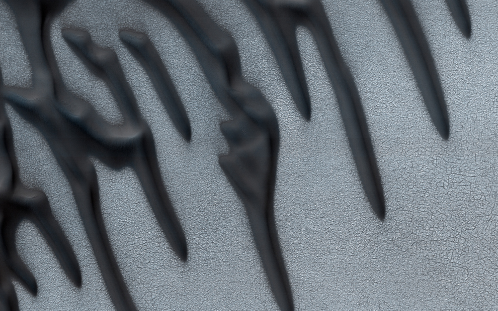
Megaripples, which are intermediate-scale aeolian bedforms as compared with ripples and dunes, have been studied extensively on Mars and thought to be largely inactive landforms from past climates. On Earth, “megaripples” can be 30 cm to tens of meters in spacing with an abundant coarse sand population resulting in reduced migration except for very strong storm events. We mapped the extensive sand seas across the north pole of Mars for the presence of Martian megaripples (Image 1). 

Image 1. HiRISE perspective view of north polar dune fields with active megaripples (arrows). Megaripple activity is most evident on the upwind edges of dune fields and in some cases within inter-erg areas. Clusters of contiguous megaripple fields often flanked by ripples and dunes were most common, while occasionally occurrences of mobile megaripple trains atop of bedrock were observed. All images and associated digital terrain models can be accessed at: https://hirise.lpl.arizona.edu/ Credit: NASA/JPL/University of Arizona.

(more…)
  • Enter your email address to follow this blog and receive notifications of new posts by email.

  • Io

  • Blog Stats

    • 192,916 hits